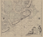
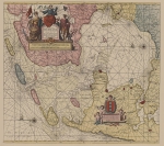
Marine Gazetteer Placedetails
| MRGID | http://marineregions.org/mrgid/3667 | ||||||||||||
| Status | Proposed standard |
||||||||||||
| Names |
|
||||||||||||
| PlaceType | Archipelago | ||||||||||||
| Latitude | 53° 15' 33.7" N (53.25935°) | ||||||||||||
| Longitude | 5° 37' 22.4" E (5.6229°) | ||||||||||||
| Precision | 74070 meter | ||||||||||||
| Min. Lat | 52° 57' 28.8" N (52.958°) | ||||||||||||
| Min. Long | 4° 37' 48.4" E (4.6301°) | ||||||||||||
| Max. Lat | 53° 33' 38.5" N (53.5607°) | ||||||||||||
| Max. Long | 6° 36' 56.5" E (6.6157°) | ||||||||||||
| Source | Oosthoek Times Wereldatlas | ||||||||||||
| Images |
|
||||||||||||
| Relations |
|
||||||||||||
| Map | |||||||||||||
| Download |
Layer: Europe:europeislands - format: |
||||||||||||
| Edit history | Last edited on 2014-08-19 09:07:05 by Vancraeynest Freek | ||||||||||||
| [Google] [Google scholar] [Google images] |


